


The UAE has completed the trial phase of a project to map agricultural areas using drones.
It's been helping the authorities collect data on farms and greenhouses in the country, as well as livestock population and soil type.
The Ministry of Climate Change and Environment (MOCCAE) is also using the technology to monitor crops and help farmers with forward planning.
The project's pilot phase between August and December in 2018, involved remote sensing and aerial imagery of Wadi Al-aim in Ras Al Khaimah.

 UAE defence systems respond to missile, drone threats
 Authorities control fire at old Abu Dhabi airport after air defence interception
 H.H. Sheikh Hamdan meets with donors, contributors of Edge of Life campaign
 Anwar Gargash calls out Iran for targetting civilian infrastructure
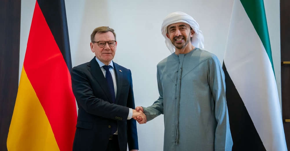 Sheikh Abdullah discusses regional developments with German counterpart
 Four injured in drone incident near Dubai International Airport
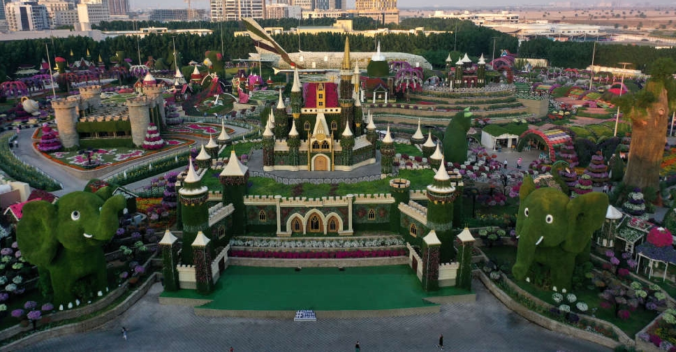 Dubai Miracle Garden offers free entry to UAE residents, March 15-31
 UAE responds to incoming missile, drone threats from Iran


